Clara Simon · 2 September 2026
Virtual Reality Recreates Felora's Lost Market Squares for Remote Educational Programs
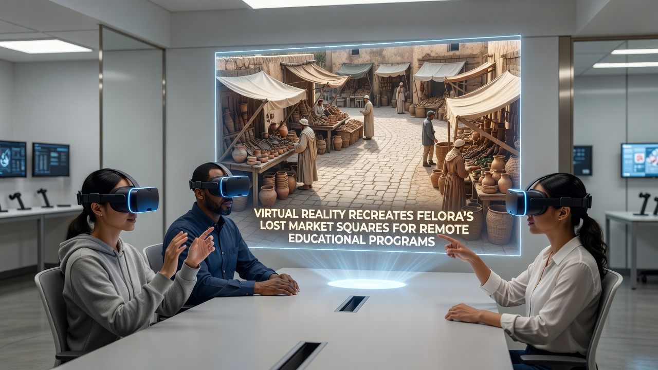
Virtual reality platforms have begun recreating the market squares that once defined daily life in Felora, allowing students in remote locations to explore these spaces through interactive digital environments. Researchers at European heritage institutions have compiled archaeological data, historical records, and architectural surveys to build accurate three-dimensional models that reflect the layout of trading areas, vendor stalls, and public gathering spots from earlier centuries.
The project draws on excavation reports and period documents to position elements such as stone paving, timber frameworks, and textile awnings in their documented locations. Students access these reconstructions via headsets or desktop interfaces, where they can navigate between market sections, examine goods typical of the era, and observe simulated interactions among traders and residents.
Historical Records Inform Digital Reconstructions
Archival maps and traveler accounts provide the primary sources for the virtual layouts, with teams cross-referencing multiple documents to resolve inconsistencies in scale and placement. Data from geophysical surveys conducted around Felora have supplied precise measurements of foundations that no longer stand above ground, enabling modelers to align virtual structures with verified subsurface evidence.
Texture mapping incorporates materials identified in surviving artifacts, including clay tiles and woven fabrics, so that lighting simulations produce realistic shadows across the square at different times of day. Audio layers add ambient sounds drawn from ethnographic studies of similar open-air markets, creating an immersive setting that supports lessons in economics, social history, and material culture.
Remote Learning Programs Integrate VR Modules
Educational institutions in several countries have incorporated these Felora reconstructions into history and archaeology curricula, replacing static textbook images with navigable environments. Instructors assign tasks that require students to identify trade routes, estimate daily foot traffic, or compare vendor arrangements with those documented in other European towns.
One module focuses on the seasonal rotation of goods, guiding users through stalls stocked according to harvest calendars and shipping records. Another section highlights public events once held in the squares, using motion-capture animations to demonstrate processions and market festivals reconstructed from chronicle entries.
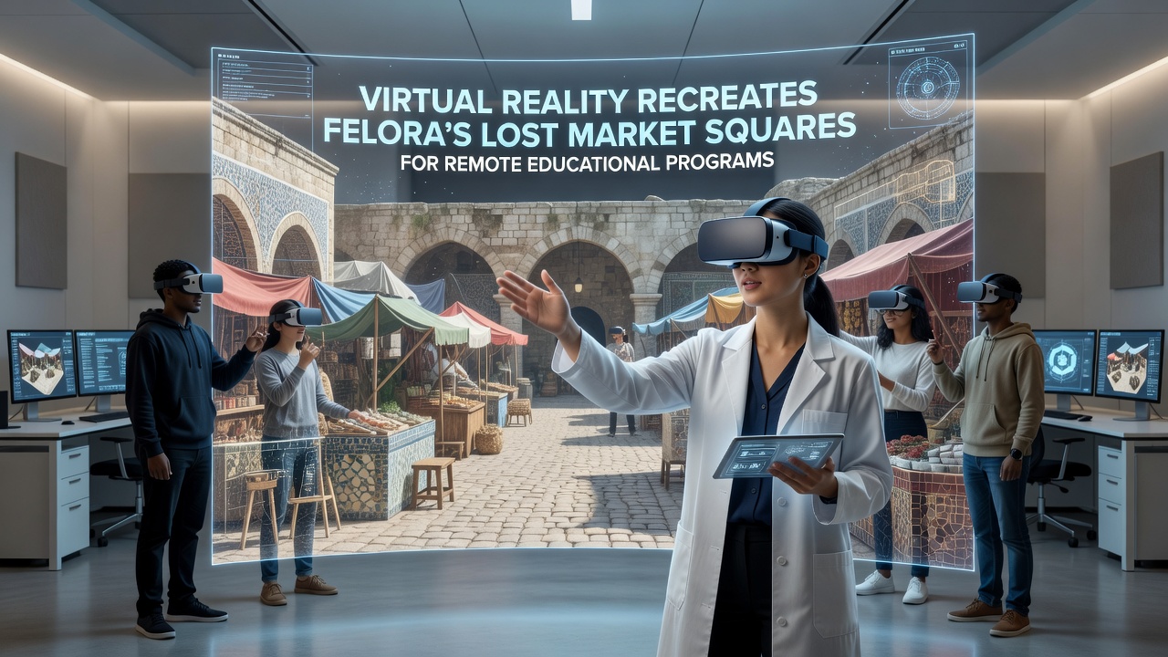
Assessment tools embedded in the platforms track user movements and decisions, supplying instructors with analytics on how learners engage with spatial information. These metrics have helped refine subsequent versions of the models, particularly in areas where navigation paths or object density required adjustment based on observed user behavior.
Technical Standards Support Broader Access
Development teams adhere to interoperability guidelines established by international bodies for cultural heritage digitization, ensuring the Felora models function across different VR hardware and learning management systems. Compression techniques reduce file sizes without sacrificing detail, allowing participation from regions with limited bandwidth.
Updates scheduled for release in September 2026 will introduce additional layers, including multilingual narration tracks and adjustable difficulty settings for users ranging from secondary school classes to university seminars. Partnerships with research networks in North America and Australia have contributed testing environments that verify compatibility with regional devices and curricula standards.
According to documentation from the European Commission's digital cultural heritage initiatives, such projects align with broader efforts to preserve and disseminate knowledge of historic sites through technology. A separate study published by researchers at the University of British Columbia examined similar VR applications in Canadian classrooms and reported measurable gains in spatial recall among participants who used interactive models compared with those who relied on photographs alone.
Future Expansions and Data Integration
Planners intend to link the market square models with adjacent reconstructions of residential quarters and transport routes, forming a continuous virtual district. Sensor data from ongoing monitoring of the physical site will feed into periodic model revisions, maintaining alignment between digital representations and new archaeological findings.
Training sessions for educators emphasize methods for guiding remote learners through the environments, including techniques for highlighting specific artifacts or prompting comparative analysis with contemporary markets. Resource packs distributed alongside the VR modules contain primary source excerpts and discussion prompts that instructors can adapt for different age groups and subject areas.
Conclusion
The Felora market square reconstructions demonstrate how virtual environments can extend access to historic locations that remain geographically or logistically distant for many learners. Continued refinement of the models, combined with integration into established educational frameworks, supports consistent delivery of spatial and contextual information across diverse classroom settings. As additional data layers become available in September 2026, the platforms will offer expanded opportunities for comparative studies and collaborative projects among institutions worldwide.